


Uganda joined the rest of the world to celebrate Geo Spatial Information Day by recognizing the power of Geospatial Information Systems and their transformative role in shaping how the world collects, analyzes, and applies location-based data.
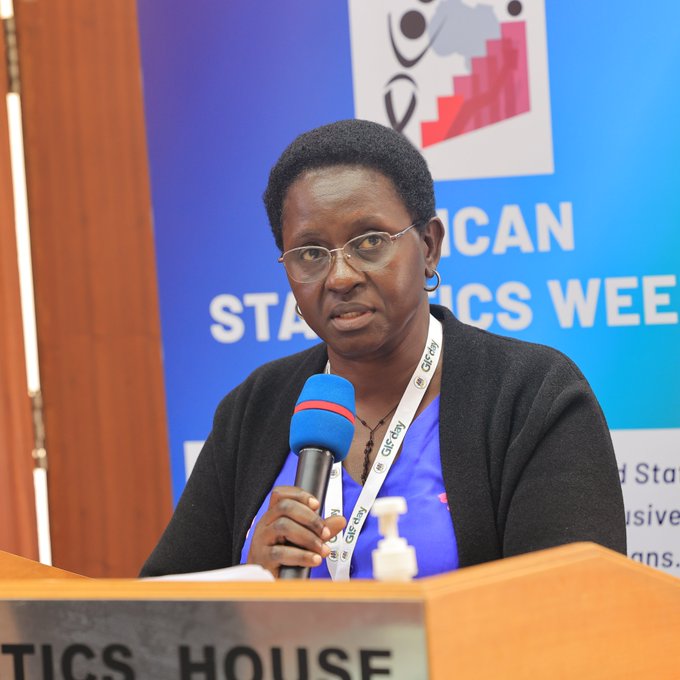
During the event Uganda Bureau of Statistics Principal Statistician Hellen Nviiri challenged Statisticians in Uganda to embrace digital systems in data collection in abid to make Geo Spatial Information work professional.
“Future statistician must embrace digital systems in GIS. Data is now geo- referenced, special skills are required to utilise this data to tell stories,”Nviiri said.


She revealed that UBOS uses GIS data to improve the accuracy and efficiency of national censuses, surveys, and other data collection efforts, primarily by using digital mapping and GPS coordinates to collect and verify data.
According to Nviiri this geospatial data is integrated into a digital system that streamlines data processing and allows for evidence-based national planning and resource allocation.
Annually Uganda celebrates GIS Day through various events, coordinated by UBOS,KCCA and stakeholders in the industry to showcase the importance of geospatial information in urban planning, data management, and development. Events include workshops, presentations, and discussions on how to use GIS technology for better data visualization, mapping, and decision-making in areas like urban development and disaster management. Organizations like Map uganda and Women in GIS Uganda also host related activities to promote community mapping and GIS awareness.


During the presentations Rachel Twesige Kirungi – Geo journalist suggested that GIS is localised to ensure enough dissemination of informative maps to the decision makers.
“Let’s embrace open Geospatial tools and open mappings to unleash the power of GIS,”she stated.
Head of the Geographic Information Systems (GIS) Section at the Kampala Capital City Authority (KCCA) Flavia Zabali Musisi stated that KCCA primarily uses Geographic Information Systems (GIS) as a foundational tool for data collection, spatial analysis, and visualization to inform its overall traffic management strategy. GIS data feeds into the newly established Kampala Traffic Control Center, which uses real-time information to actively manage and mitigate traffic jams.